Hostname: page-component-745bb68f8f-d8cs5 Total loading time: 0 Render date: 2025-01-26T11:57:17.428Z Has data issue: false hasContentIssue false

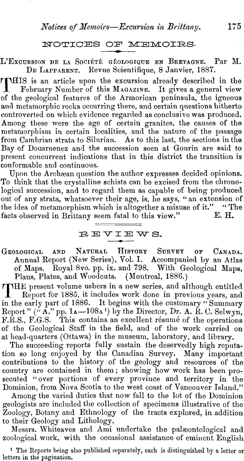
Geological and Natural History Survey of Canada. Annual Report (New Series), Vol. I. Accompanied by an Atlas of Maps. Royal 8vo. pp. ix. and 798. With Geological Maps, Plans, Plates, and Woodcuts. (Montreal, 1886.)

Published online by Cambridge University Press:  01 May 2009
Abstract

Image of the first page of this content. For PDF version, please use the ‘Save PDF’ preceeding this image.'
Type
Reviews
Copyright
Copyright © Cambridge University Press 1887

Access options

Get access to the full version of this content by using one of the access options below. (Log in options will check for institutional or personal access. Content may require purchase if you do not have access.)

References

page 175 note 1 The Reports being also published separately, each is distinguished by a letter or letters in the pagination.

page 179 note 1 The Indian name for the North-west, or the North-West wind, applied to the district within which the rocks occur.

page 179 note 2 Formed from two Algonquin words signifying “big-stone,” and so called because of the large boulders of gneiss that strew the west shore of the lake.

page 180 note 1 Report, 1845.

page 180 note 2 Acadian Geology, 1868.