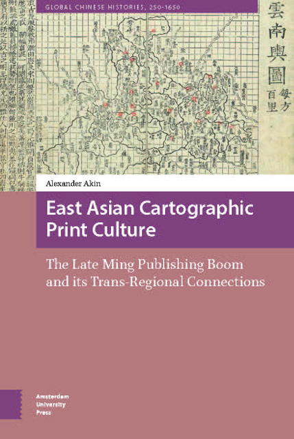
 East Asian Cartographic Print Culture
 This book has examined the role of the late Ming publishing boom in the evolution of cartography in East Asia, investigating the ways in which the expansion of publishing that began in the mid-sixteenth century affected the nature of cartographic materials and their circulation in East Asia. This has led us to explore relationships between social, political, and intellectual trends of the time and the production and use of maps, revealing rich seams in East Asian cultural history that transcend borders.
In contrast to the roughly contemporary explosion of cartography in some parts of Europe – where new technologies meshed with an age of discovery and the conceptual shifts of the Enlightenment to produce not only the expectation that maps should be constantly updated, but a veritable avalanche of new data with which to do so – map publishing in China up to the mid-Ming existed in the social context of an examination system which played a large role in shaping the evolution of a cartographic canon. Aside from the maps found in gazetteers, a large proportion of early printed maps (as well as maps engraved on stelae erected at school grounds) served as study aids for the Classics and dynastic histories. To contrast this with the situation in Europe, we might imagine what the results would have been if the great cartographers of the 1500s had focused primarily on reconstructions of biblical geography and the shifting borders of post-Roman political entities, rather than piecing together the contours of a world in the process of colonization.
The examination system was therefore a more important driving force for the production of Chinese maps circulating in the public realm than was the territorial imperative or the other processes of early modern state formation. The subject matter of printed maps in late imperial China has a strong tendency toward the didactic rather than the utilitarian. In general, a didactic map was more likely to be needed in multiple examples. Utilitarian maps, such as nautical handbooks for sailing along the coast, were often privileged documents that were copied by hand and not mass-produced for general circulation. Published route books from this period that were meant for real use in navigating road networks relied on text rather than images to provide the level of detail that made them worthwhile
To save this book to your Kindle, first ensure [email protected] is added to your Approved Personal Document E-mail List under your Personal Document Settings on the Manage Your Content and Devices page of your Amazon account. Then enter the ‘name’ part of your Kindle email address below. Find out more about saving to your Kindle.
Note you can select to save to either the @free.kindle.com or @kindle.com variations. ‘@free.kindle.com’ emails are free but can only be saved to your device when it is connected to wi-fi. ‘@kindle.com’ emails can be delivered even when you are not connected to wi-fi, but note that service fees apply.
Find out more about the Kindle Personal Document Service.
To save content items to your account, please confirm that you agree to abide by our usage policies. If this is the first time you use this feature, you will be asked to authorise Cambridge Core to connect with your account. Find out more about saving content to Dropbox.
To save content items to your account, please confirm that you agree to abide by our usage policies. If this is the first time you use this feature, you will be asked to authorise Cambridge Core to connect with your account. Find out more about saving content to Google Drive.