Crossref Citations
This article has been cited by the following publications. This list is generated based on data provided by
Crossref.
Bonsall, Clive
1978.
Palaeolithic/Mesolithic.
Archaeological Journal,
Vol. 135,
Issue. 1,
p.
309.
1980.
An early mesolithic site in the Irish midlands.
Antiquity,
Vol. 54,
Issue. 210,
p.
46.
Morrison, Alex.
1982.
The Mesolithic Period in South-West Scotland: A Review of the Evidence.
Glasgow Archaeological Journal,
Vol. 9,
Issue. 1,
p.
1.
Mannion, Antoinette M.
1982.
Diatoms: their use in physical geography.
Progress in Physical Geography: Earth and Environment,
Vol. 6,
Issue. 2,
p.
233.
SMITH, A. G.
1984.
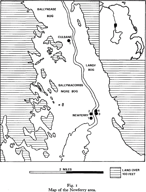
NEWFERRY AND THE BOREAL‐ATLANTIC TRANSITION.
New Phytologist,
Vol. 98,
Issue. 1,
p.
35.
MANNION, A.M.
1987.
FOSSIL DIATOMS AND THEIR SIGNIFICANCE IN ARCHAEOLOGICAL RESEARCH.
Oxford Journal of Archaeology,
Vol. 6,
Issue. 2,
p.
131.
Price, T. Douglas
1987.
The mesolithic of Western Europe.
Journal of World Prehistory,
Vol. 1,
Issue. 3,
p.
225.
Williams, Elizabeth
1989.
Dating the introduction of food production into Britain and Ireland.
Antiquity,
Vol. 63,
Issue. 240,
p.
510.
Grogan, Eoin
and
Cooney, Gabriel
1990.
A preliminary distribution map of stone axes in Ireland.
Antiquity,
Vol. 64,
Issue. 244,
p.
559.
PATTON, MARK
1991.
STONE AXES OF THE CHANNEL ISLANDS: NEOLITHIC EXCHANGE IN AN INSULAR CONTEXT.
Oxford Journal of Archaeology,
Vol. 10,
Issue. 1,
p.
33.
SMITH, A. G.
and
GODDARD, I. C.
1991.
A 12 500 year record of vegetational history at Sluggan Bog, Co. Antrim, N. Ireland (incorporating a pollen zone scheme for the non‐specialist).
New Phytologist,
Vol. 118,
Issue. 1,
p.
167.
Sheridan, Alison
Cooney, Gabriel
and
Grogan, Eoin
1992.
Stone Axe Studies in Ireland.
Proceedings of the Prehistoric Society,
Vol. 58,
Issue. 1,
p.
389.
Cooney, Gabriel
1993.
A sense of place in Irish prehistory.
Antiquity,
Vol. 67,
Issue. 256,
p.
632.
Cooney, Gabriel
and
Mandal, Stephen
1995.
Getting to the core of the problem: petrological results from the Irish Stone Axe Project.
Antiquity,
Vol. 69,
Issue. 266,
p.
969.
Meiklejohn, Chris
Petersen, Erik Brinch
and
Alexandersen, Verner
2000.
Gender and Material Culture in Archaeological Perspective.
p.
222.
Plunkett, G. M.
Whitehouse, N. J.
Hall, V. A.
Brown, D. M.
and
Baillie, M. G. L.
2004.
A precisely‐dated lake‐level rise marked by diatomite formation in northeastern Ireland.
Journal of Quaternary Science,
Vol. 19,
Issue. 1,
p.
3.
Kimball, Michael J.
2006.
Common pools and private tools? Mobility and economy during Ireland’s Later Mesolithic.
Journal of Anthropological Archaeology,
Vol. 25,
Issue. 2,
p.
239.
McQuade, Melanie
and
O'Donnell, Lorna
2007.
Late Mesolithic fish traps from the Liffey estuary, Dublin, Ireland.
Antiquity,
Vol. 81,
Issue. 313,
p.
569.
Kador, Thomas
2007.
Where are we going? Movement and Mobility in Mesolithic Research.
Internet Archaeology,
Kettle, A.J.
Heinrich, D.
Barrett, J.H.
Benecke, N.
and
Locker, A.
2008.
Past distributions of the European freshwater eel from archaeological and palaeontological evidence.
Quaternary Science Reviews,
Vol. 27,
Issue. 13-14,
p.
1309.
