No CrossRef data available.
Article contents
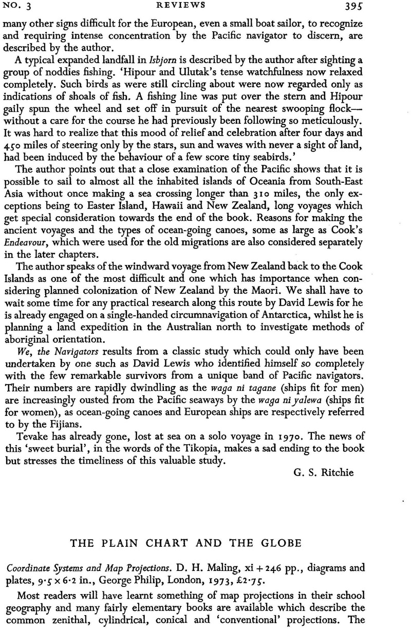
The Plain Chart and The Globe - Coordinate Systems and Map Projections. D. H. Maling, xi + 246 pp., diagrams and plates, 9·5 × 6·2 in., George Philip, London, 1973, £2·75.
Review products
Coordinate Systems and Map Projections. D. H. Maling, xi + 246 pp., diagrams and plates, 9·5 × 6·2 in., George Philip, London, 1973, £2·75.
Published online by Cambridge University Press: 18 January 2010
Abstract
An abstract is not available for this content so a preview has been provided. Please use the Get access link above for information on how to access this content.

- Type
- Reviews
- Information
- Copyright
- Copyright © The Royal Institute of Navigation 1973


